Large Snowstorm Deposits 26-Foot-Deep Snowdrifts in New Zealand Over Weekend
SnowBrains | |
New Zealand ski resorts just got huge amounts of snow including snowdrifts up to 26-Feet-Deep.
This storm was brutal with huge amounts of snow and wind. All these ski resorts are calling this new snow “wind affected snow.”
Another big dump of snow is forecast for New Zealand this Thursday (see forecast below).

Mt. Dobson ski area has been closed the past 5 days, including today, due to wind, deep snow, and avalanche danger. All the ski resorts in this region experienced multiple days of closures.
On Saturday, the New Zealand Mountain Safety Council was urging people to stay completely out of the backcountry due to avalanche danger.
“There are very few times we’d say “Don’t Go” into the backcountry, but today is definitely one of them. Highly recommend to stay within skifield boundaries where their teams are actively managing the risk.” – New Zealand Safety Council on July 21st, 2017
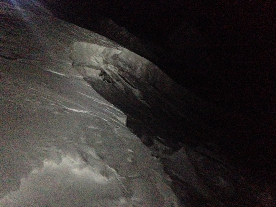
The avalanche danger is still a big nutty right now in New Zealand. See image and caption below from Mt. Hutt’s Snow Safety Officer, Leigh Frye:
WEEKEND SNOWFALL TOTALS in NEW ZEALAND:
- Roundhill, 130cms (51″)
- Mt. Dobson: 120cms (47″)
- Mt. Hutt: 90cms (35″)

Mt. Dobson on July 21st, 2017. photo: dobson FORECAST

“THE SNOW IS COMING.
For the 3rd week in a row we are in line for severe weather.
As mentioned in a previous post we have been watching another cold blast due Thursday – Friday.
The cold air associated with this system has come straight off the Antarctic shelf. This very cold pool of air will arrive Thursday and last till Saturday. It mixes with a moist low in the Tasman Sea which increases the moisture (rain/Snow).
The Latest models and Intel suggest this could be a significant event with heavy snow above 2-300m. Data suggests 15-25cm possible. This spans Lake Tekapo through to about Hanmer Springs although the heaviest will be inland West of Christchurch based on current modeling.” – Canterbury Snow and Weather Watch
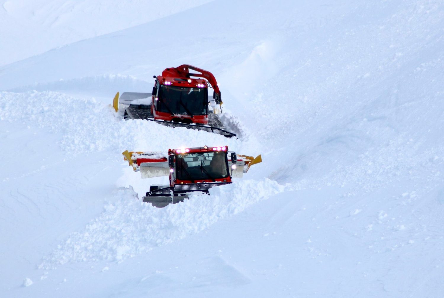
PHOTO TOUR:


Posted from Snow Brains